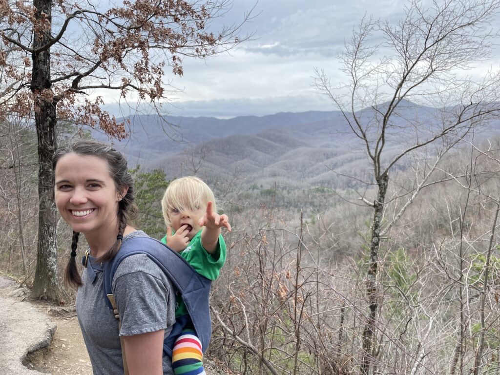
If you’re looking for a short and beautiful outdoor adventure, this road trip through the Great Smoky Mountains National Park and Congaree National Park is just for you. Get swept away in the beauty of nature as you wind through mountain roads, get up close to waterfalls, and enjoy a pleasant boardwalk through a marshy wilderness.
This quick 2-day trip will give you a taste of what U.S. National Parks have to offer. If your experience is anything like ours, we have a feeling you’ll want to start adding more National Parks to your bucket list.
Post Summary
Here’s what we’re covering in this post. We invite you to read the full post, or jump ahead to the section you’re most interested in.
- Great Smoky Mountain National Park Overview
- One Day Itinerary at Great Smoky Mountain National Park
- Map for One Day Itinerary at Great Smoky Mountain National Park
- Congaree National Park Overview
- Half-Day Itinerary at Congaree National Park
- Is Congaree National Park Worth Visiting?
Why We Took a 2-Day Road Trip to 2 National Parks
We planned this road trip on a day’s notice. We currently live in Florida, but had been visiting family in Illinois for the holidays. During those 2 weeks, the COVID situation changed drastically and we no longer felt safe flying home.
Renting a car and driving home seemed like the obvious choice. It’s a 16 hour drive, and Kenny has done solo it three times in the past two months during our move. However, the drive this time would be with our 16-month-old toddler, Zoe.
To ease the pain of the long drive, we split it up over 4 days and built out this two day, two national park itinerary in the middle. The national parks gave us the best mix of adventure and safety, as we’d be able to stay outside and avoid crowds of people.

We started our journey in Springfield, IL and drove to the Great Smoky Mountains on our first day. That is where this itinerary begins.
About Great Smoky Mountains National Park
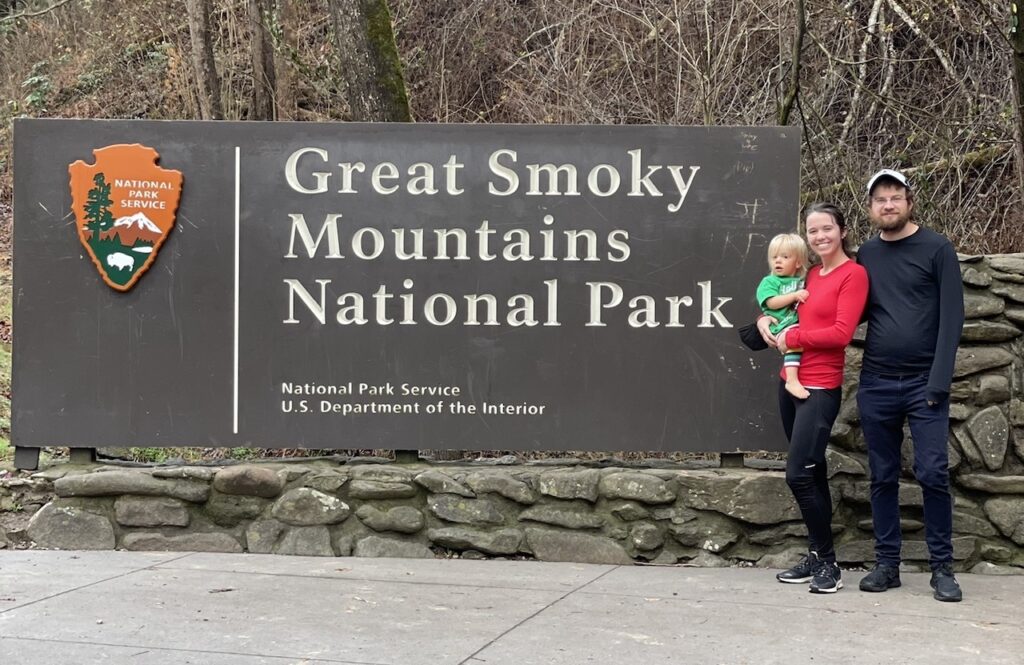
Great Smoky Mountains National Park is located in the Appalachian Mountains along the border of Tennessee and North Carolina. The park gets its name not from any actual smoke, but by the fog that can often be seen rising up from the mountains’ forests.
Great Smoky Mountains National Park is the most visited National Park in the US. Spanning 522,427 acres, the park is known for its hiking (including the 71+ miles of the Appalachian Trail that cuts through it), waterfalls, and wild life, including bears and elk.
Things to Do at Great Smoky Mountains National Park
Here’s just a few of the many things you can do in the Great Smoky Mountains. These are all things we researched and considered, some of which made our itinerary.
- Cades Cove – Scenic wilderness loop with wildlife and historical buildings. The road is closed to vehicles (bikers and pedestrians only) on Wednesdays and Saturday mornings during the summer.
- Hiking – There are many hiking trails around the park that vary in length and difficulty. Some popular options include Andrews Bald (3.5 miles, moderate), Alum Cave Trail (4.4 miles, moderate) and Mt. Cammerer (11.5 miles, difficult)
- Waterfalls – Some of the most popular falls are Rainbow Falls, Mingo Falls, Grotto Falls and Hen Wallow Falls, all of which require hiking to get to. There are a few small waterfalls that are easily accessible from the road, such as The Sinks and Meigs Falls.
- Clingmans Dome – Clingmans Dome is the highest point in the Smoky Mountains. There’s an observation tower that offers stunning views and the Appalachian Trail crosses here as well. (NOTE: The road to drive to Clingmans Dome is closed from December through March, but the tower is open all year for hikers.)
- Scenic Overlooks – Newfound Gap, Morton Overlook and Chimney Tops Overlook are all great places for the best views you can drive to.
When To Visit Great Smoky Mountains National Park
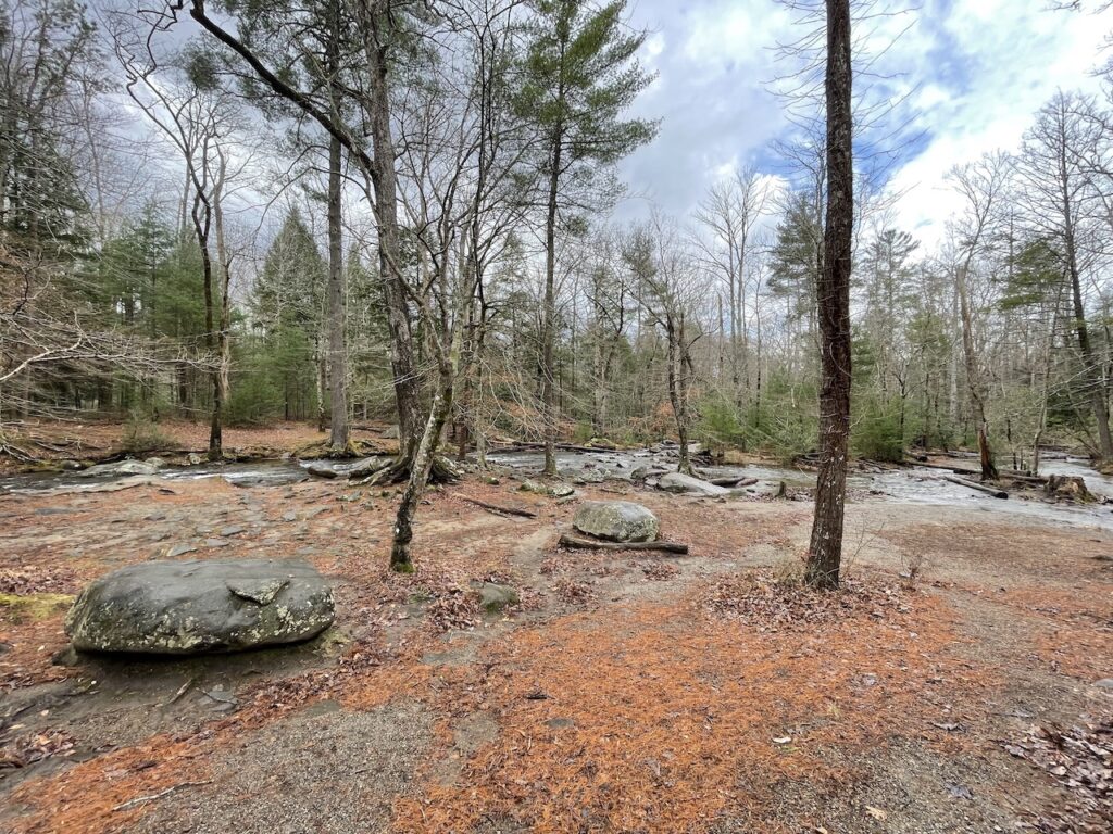
The best time to visit the Great Smoky Mountains is between May and October. The summertime can get hot and crowded, so try to plan a visit during shoulder season if you can (May-June or Aug-Oct). Great Smoky Mountains National Park is also very popular during the fall when colors peak in mid-October. These crowds tend to be on the weekend though, so plan a weekday during the fall if possible.
If you’re visiting during the winter time (like we did), you may be impacted by seasonal road closures that completely cut off parts of the park from cars (which we were). Hiking trails are generally open all year. There is ongoing road construction and trail maintenance throughout the park, so some roads or trails may be closed even during high season. Be sure to check the National Parks website for closures before your trip.
How Much Does it Cost to Visit Great Smoky Mountains National Park
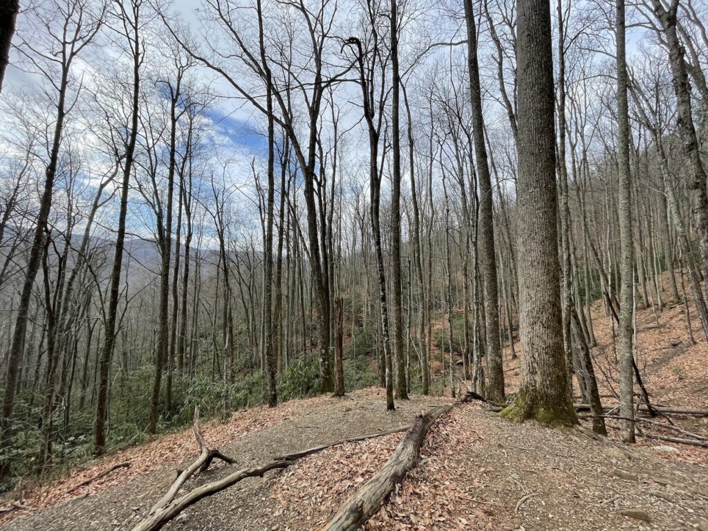
Entrance to the Great Smoky Mountains National Park is free!
What to pack for Great Smoky Mountains National Park
Here are a few things you’ll want to bring with you to Great Smoky Mountains National Park.
- Paper Maps and/or Printed Driving Instructions: There is very little cell service in the parks, so you won’t likely be able to look up directions while you’re actually in the park.
- Food & Drinks: There are very few restaurants or food stops in Great Smoky Mountains National Park. Bring a lunch, snacks and drinks to have in the car. (Bathroom facilities are limited as well though, so maybe not too many drinks.)
- Picnic Blanket or Towel: There are a few places in the park that have picnic tables, but having a travel blanket for a picnic lunch gives you more flexibility to picnic when and where you’re hungry.
- Trash bags: Don’t be a litterbug. Due to it’s location in bear country, Great Smoky Mountains National Park doesn’t have a ton of trashcans around. Keep a bag on hand or in your car to collect your trash until you find a trashcan or return to your hotel. These small bags are great for trash, especially diapers, on the go.
- Comfortable, Sturdy Shoes: If you’re just doing casual hikes, like the ones we’ve listed in this post, you do not need hiking boots or gear. A good pair of sneakers will do the trick.
- Baby Carrier: Parents of small children will want to pack a baby carrier. Most trails are not suitable for strollers. For short hikes, we always use the Sakura Bloom Onbuhimo. For longer hikes or trips that require a nap, we use the Nuna CUDL carrier. Check out this post for more tips on baby wearing for travel and reviews of our favorite baby carriers.

Where to Stay Near Great Smoky Mountains National Park
You can stay on the Tennessee or North Carolina side when visiting Great Smoky Mountains National Park. Each state has a welcome center which serves as the main entrance to the national park on the north and south sides. We recommend staying on the Tennessee side.
The most popular places to stay near Great Smoky Mountains National Park in Tennessee are Pigeon Forge and Gatlinburg. Both towns are just a short drive to the Sugarlands Visitor Center, which serves as the northern entrance to the national park.
We stayed at the SpringHill Suites in Pigeon Forge, which we recommend. It was a perfect location and a nice hotel with a free breakfast. Bonus points for sharing a parking lot with Starbucks.

There’s also a ton of other tourist attractions in the Gatlinburg/Pigeon Forge area, including Dollywood. We equated the main strip of Pigeon Forge to the likes of the Wisconsin Dells. Lots of kitschy gift shops, multi-level go cart tracks, and a ton of themed dining and dinner shows.
How To Spend One Day at Great Smoky Mountains National Park
This itinerary assumes you are already in the Great Smoky Mountains area on the Tennessee side on your first day. We planned to spend two nights in Pigeon Forge, which gave us one complete day at the Great Smoky Mountains National Park.
Day 1 Itinerary Overview:
- Coffee in Pigeon Forge
- Getting to Great Smoky Mountains National Park from Pigeon Forge
- Laurel Falls Hike
- Cades Cove Scenic Loop
- Abrams Falls Hike
- The Sinks Waterfall
- Great Smoky Mountains Day Trip Driving Route Map
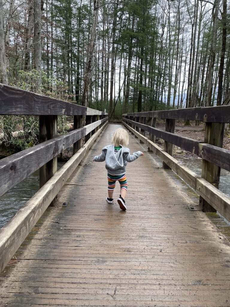
Start Your Day With Coffee, Always
Pigeon Forge is not exactly a Mecca for local coffee shops. You’ll mostly find chains like Starbucks (which we’re fans of here) or Dunkin’ Donuts. There are two local coffee shops in the area that looked great though:
- Smoky Mountain Espresso (1259 Middle Creek Rd, Sevierville, TN)
- Espresso Yourself (3331 Old Mill St, Pigeon Forge, TN)
We planned on stopping by Espresso Yourself, but Zoe decided to sleep in that morning. Since we were already off to a late start, we didn’t want to lose more time. Instead we settled for hotel room coffee and got right on our way.
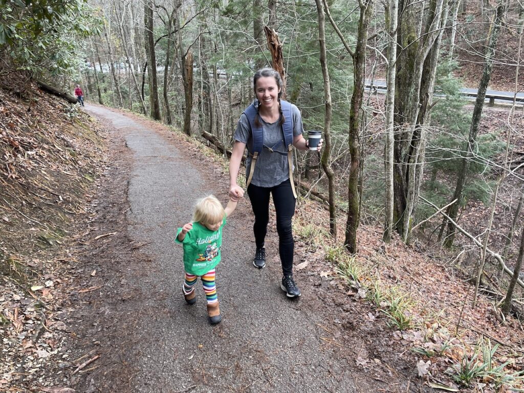
Getting to Great Smoky Mountains National Park from Pigeon Forge
To get to the Great Smoky Mountains National Park from Pigeon Forge or Gatlinburg, head south toward the Sugarlands Visitor Center. This visitor center comes highly recommended as the start to any trip.
We didn’t stop at the visitor center out of COVID safety concerns, but regretted it. If you can swing it, it’s probably a good idea to stop here at least to pick up some maps. We planned on using our phones, but had basically no cell service our entire time in the Great Smoky Mountains National Park.
From theSugarlands Visitor Center, you can take Fighting Creek Gap Road toward Cades Cove or keep south on toward Newfound Gap. These are two separate routes and do not easily form a loop.
If you’re taking the Newfound Gap route, Clingmans Dome is one of the top attractions. Be sure to note that if you’re visiting between December and March, the Clingmans Dome road is closed and you cannot drive to it.
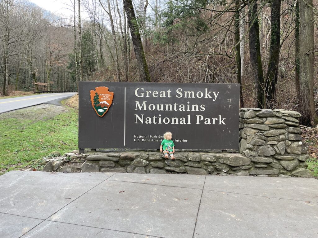
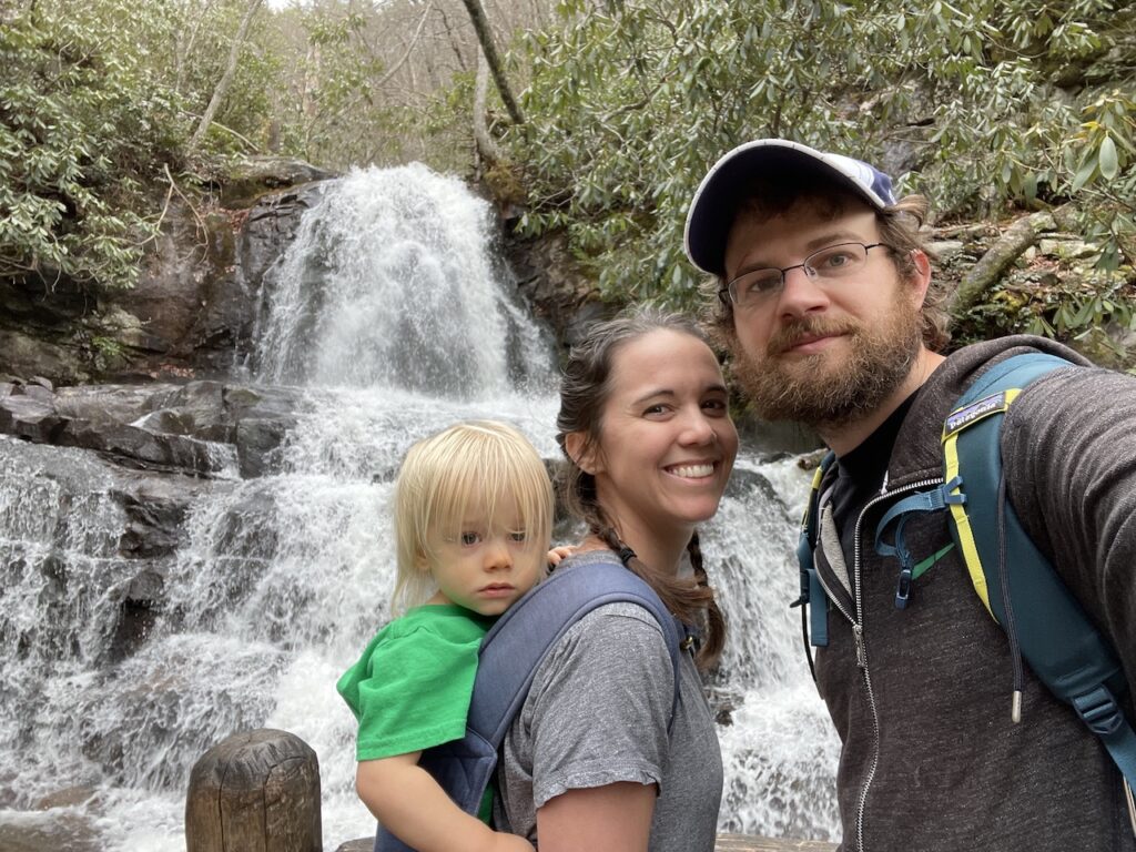
Hike to Laurel Falls in the Great Smoky Mountains
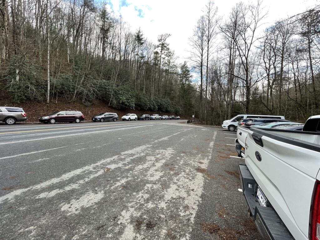
FromSugarlands Visitor Center, continue onFighting Creek Gap Road for 3.6 miles and you’ll hit the start of your first hike. There are signs for the Laurel Falls trailhead and free parking is available. Even during low season it was quite full by 9:30 AM.
The hike to Laurel Falls is 1.3 miles from the road (2.6 miles round trip). It’s an easy and clearly marked trail with a modest elevation gain of about 300 feet. It’s technically a paved path, but it’s quite rough at times so I would not recommend using a stroller or wheel chair on it.
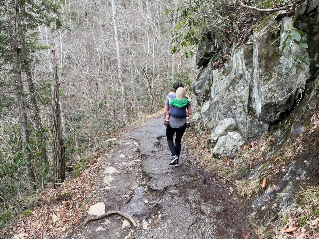
We saw many children on the Laurel Falls hiking trail and would call it safe for families. There are some steep drop-offs near the end, so be careful with wobbly and fast toddlers. We let our 16-month-old walk the start, but kept them in the carrier for most of the hike.
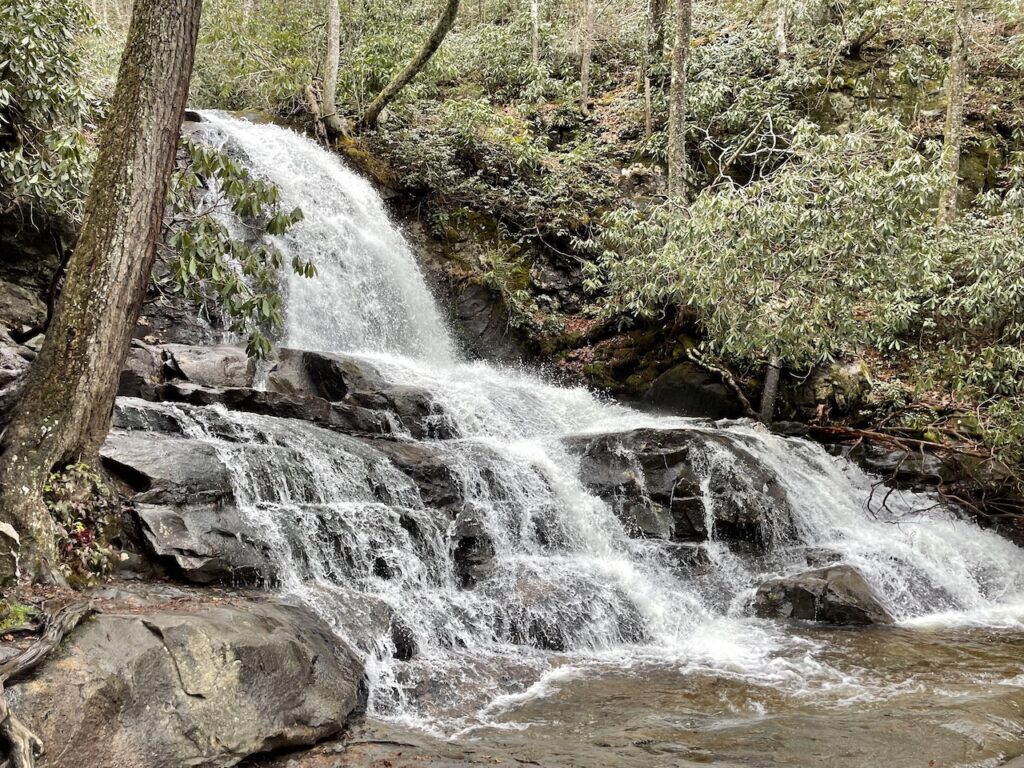
The hike to Laurel Falls takes about 20-30 minutes. The falls were beautiful and absolutely worth the hike. We stayed for about 10 minutes observing the falls and the views before making the return hike back to our car.
Drive Cades Cove Loop in the Great Smoky Mountains
Continue on Fighting Creek Gap Road which becomes Little River Gorge Road and then Laurel Creek Road before running straight into the Cades Cove scenic loop.
Cades Cove is an 11-mile, one-way loop through a scenic portion of the Great Smoky Mountains. It’s known for its beautiful landscape, frequently visible wildlife and historical buildings. The road is clearly marked and there’s parking at the sites and lookouts throughout the loop. There are also a few hiking trails that start from the loop road.
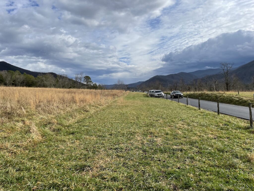
The Cades Cove loop is one way, but there are two two-way roads that cut through the loop in case you need to cut it short and exit. Stopping on the road itself is not permitted, but people do it, and driving the loop is very slow.
There is a picnic area at the start of the loop if you need to use the bathroom or fill up your water bottle. Bathrooms are also available at Cable Mill Area Visitors Center halfway through the loop. This visitor center is also the only place on the loop to purchase food. Hours are limited and vary by season.
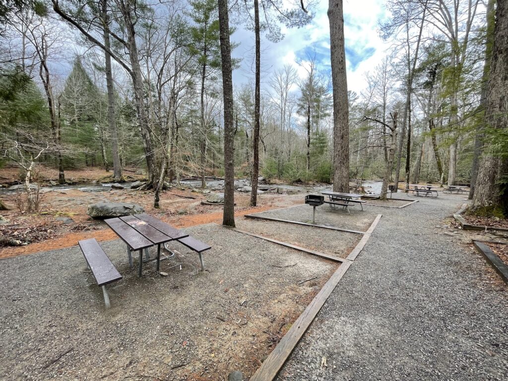
We recommend bringing your own food as there are plenty of areas to have a nice picnic. Always be sure to pick up all of your trash and bring it out of the park with you. This is bear country, so there is a not a lot of trashcans within the park.
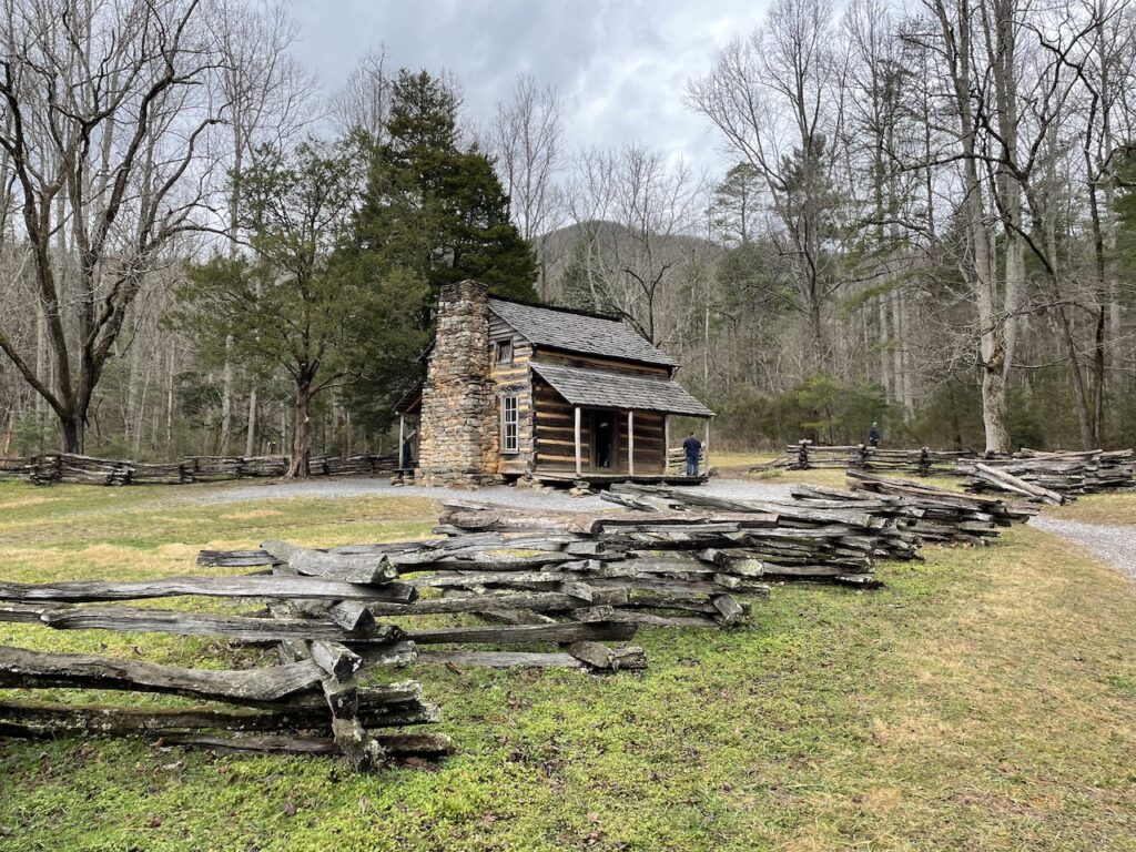
The historical buildings around Cades Cove are lovely. We stopped at John Oliver Cabin and the Methodist church. It’s certainly worth stopping at a few, but we won’t go into much detail here as they were pretty straight forward.
If you stopped at each attraction, this loop could easily fill a day. We spent a total of 4 hours within the loop. That included two historical buildings, a picnic lunch break and the hike to Abrams Falls.
Hike to Abrams Falls from Cades Cove
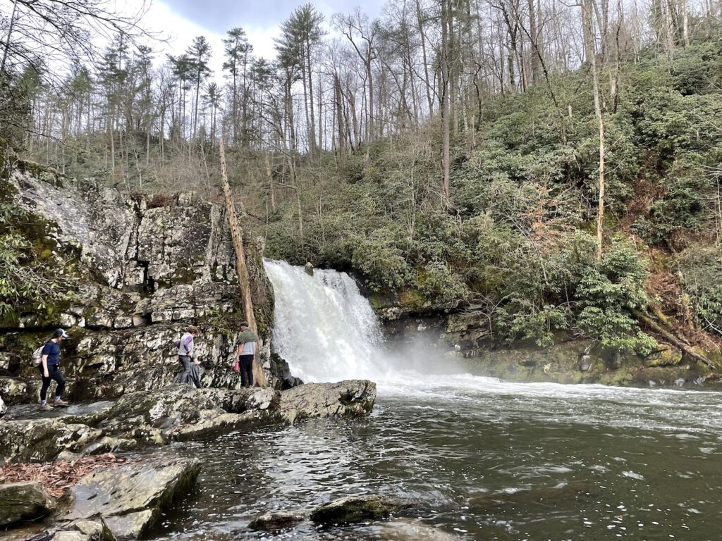
The Abrams Falls trailhead is about half way through the Cades Cove scenic loop. It’s a 2.5 mile hike to the falls (5 miles round trip). The Abrams Falls hike is moderately difficult and has a total elevation gain of about 700 feet.
There is ample parking at the Abrams Falls trailhead. We ate a picnic lunch in the grass by the parking lot which was surprisingly lovely. There were definitely better places to have a picnic, but we were here and hungry, and it was nice.
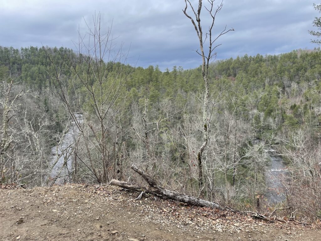
The hike from the trailhead to Abrams Falls took us about one hour. It was really pleasant. The path was not very crowded and followed a river with lots of rapids which created a lovely, tranquil soundtrack.
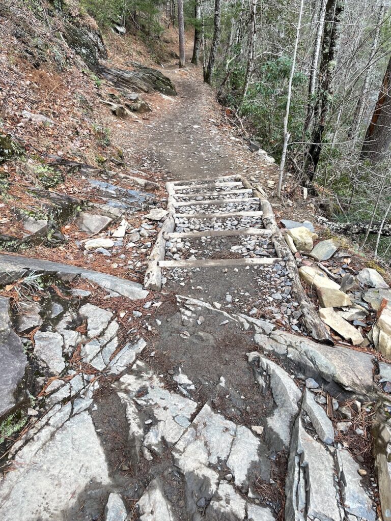
We didn’t find the trail to be particularly difficult, and there were long stretches of flat trail with gorgeous views. The trail did get steep at times, though, and there was some tricky footing and steps to climb.
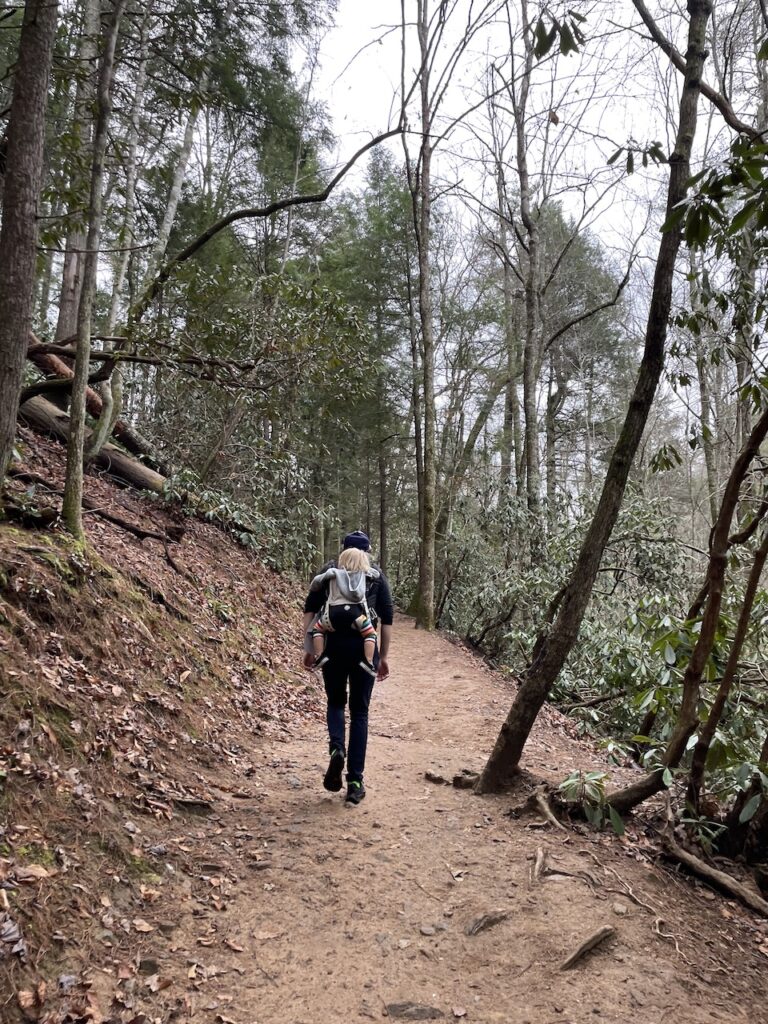
Kenny made the 5-mile roundtrip hike with our 16-month-old in the carrier. He was winded during some of the inclines and had to be careful with his steps at several points. Overall he felt safe with Zoe in the front while Z was napping, but he felt much better when he switched to the backpack and could see his feet better.
-

The steepest portions of the trail to Abrams Falls have steps. Some are in better shape, but this is how many of them looked. -

Much of the hike was relatively flat trail like this. -

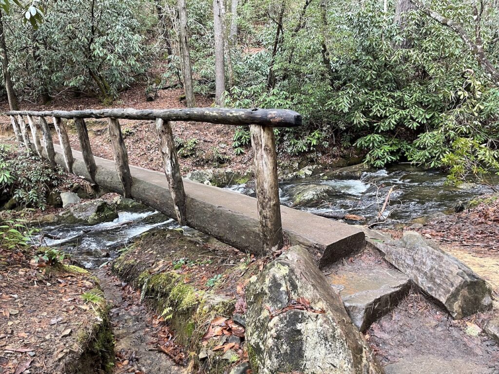
The trail crosses several small streams with log bridges like this one.
The Abrams Falls Trail was pretty family friendly as well. We saw several young children walking and a few other babies in carriers, too. The trail did have long stretches of very steep drop-offs, so you’d want to be careful with littler ones. We did not feel comfortable with our 16-month-old walking much of this trail on their own.
After about 10 minutes at the falls, we made the one hour return hike. We spent a total of 2 hours 15 minutes at the Abrams Falls stop, including our picnic lunch. This was our final stop in Cades Cove, so we drove trough the remaining half and exited.
Why We did Not Like the Cades Cove Scenic Loop in the Great Smoky Mountains
It’s hard to find a guide to the Smoky Mountains that doesn’t include Cades Cove. People freaking love it. When I casually mentioned not liking it on my Instagram stories, so many people came to its defense.
We might be completely off our rocker here, but we did NOT like Cades Cove. And here’s why.
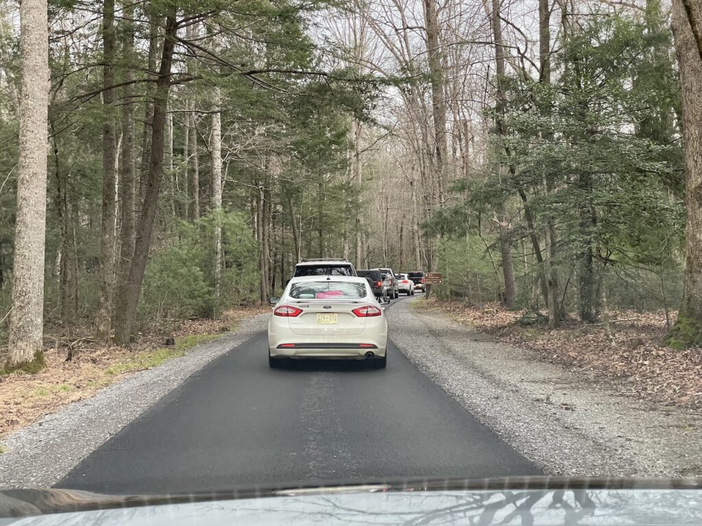
- It was very crowded. Even during low season, the loop road was jam packed. I don’t like driving in general because I hate traffic, and I just felt like I was sitting in unbearably slow traffic the whole time and couldn’t enjoy it.
- The cars took away from the nature. It’s hard to feel like we’re respecting the wild life while relentlessly puffing fumes in their faces. This loop felt like something that would have been better off as a pedestrian path. They do offer that on Wednesdays and Saturdays in the summer, which I would definitely recommend.
- The scenery wasn’t better than the rest of the park. Everyone talks about how beautiful Cades Cove is, and it is … but so is the rest of Smoky Mountain National Park. I enjoyed the views from Laurel Falls and driving Littler River Gorge Road on the way to Cades Cove as much as I enjoyed Cades Cove itself.
We did not enjoy it for these reasons and found ourselves feeling frustrated and angry more often than not. We personally would not go back to Cades Cove.
If we came back to Great Smoky Mountains National Park in the future, we would opt to take Newfound Gap road with stops at Alum Cave Trail, Morton Overlook and Clingmans Dome. (NOTE: Clingmans Dome is only accessible by car in the summer months, so this was not an option for us on this trip in December.)
The Sinks Waterfall in the Great Smoky Mountains
The only way to the Pigeon Forge / Gatlinburg area from Cades Cove is to go back the same way you came. The exit from Cades Cove puts you back on Laurel Creek Road, which connects to Littler River Gorge Road.
After 5.8 miles on Little River Gorge Road, there is a bridge and then a parking lot for The Sinks.
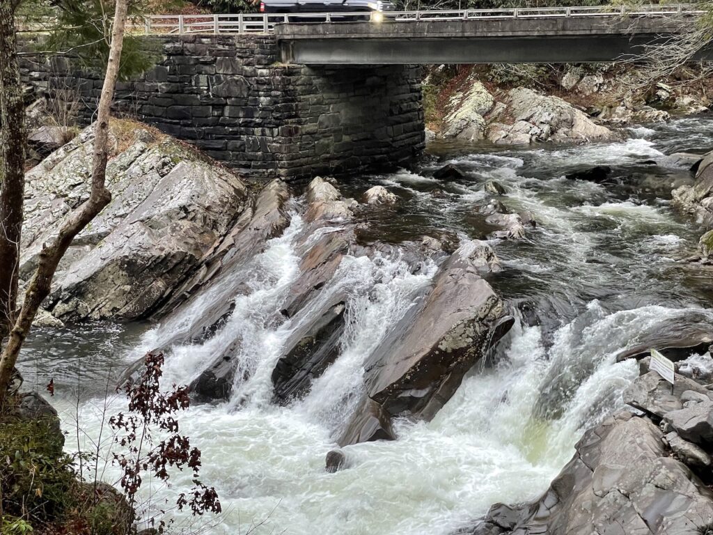
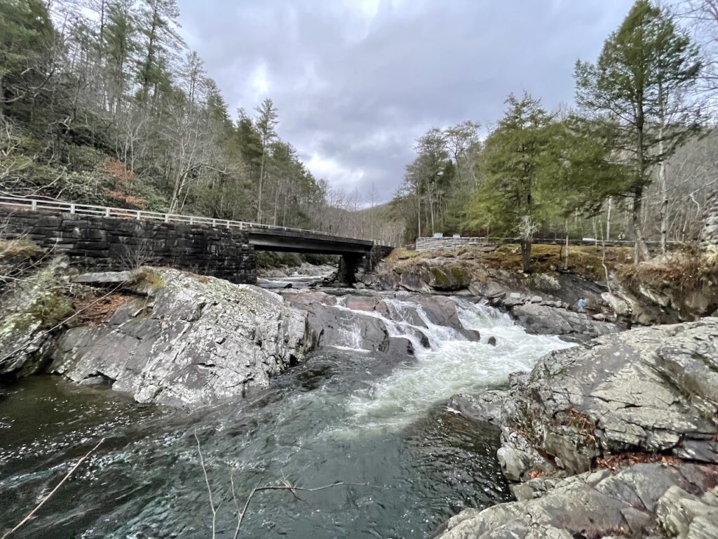
The Sinks is a small, but nice waterfall. The river was historically used to move timber, and this particular waterfall formed as a result of an explosion that was set off to clear a log jam. It’s not worth going out of your way for, but it’s a pleasant stop to wrap up your day.
The waterfall viewing area is accessible from the parking lot, making it a nice stop for anyone with mobility issues. Some seating is also available near the viewing area. Tree trails begin near The Sinks including Meigs Maintain Trail (3.5 miles), Lumber Ridge Trail (3.5 miles) and Tremont (7.6 miles). There is no swimming allowed at The Sinks.
Great Smoky Mountains Day Trip Map
The map shown and linked here is the driving route for a one day trip to the Great Smoky Mountains National Park. Each stop discussed in the above itinerary is included in this route. The route starts and ends at the SpringHill Suites in Pigeon Forge but can be adjusted to your specific accommodations by clicking the “more options” link.
We highly recommend taking screenshots or printing the driving instructions. We had no cell service for much of time in the Great Smoky Mountains National Park.
Drive from Great Smoky Mountains National Park to Congaree National Park
It takes about 4.5 hours to drive from Great Smoky Mountains National Park to Congaree National Park. If you’re trying to see both of these national parks in 2 days, you’ll want to leave the Great Smoky Mountains as early as possible on the second day.
Plan to eat lunch on your way as there are no restaurants at Congaree National Park. You’ll pass by Columbia, SC which is a good option for lunch before you arrive at the national park.
About Congaree National Park
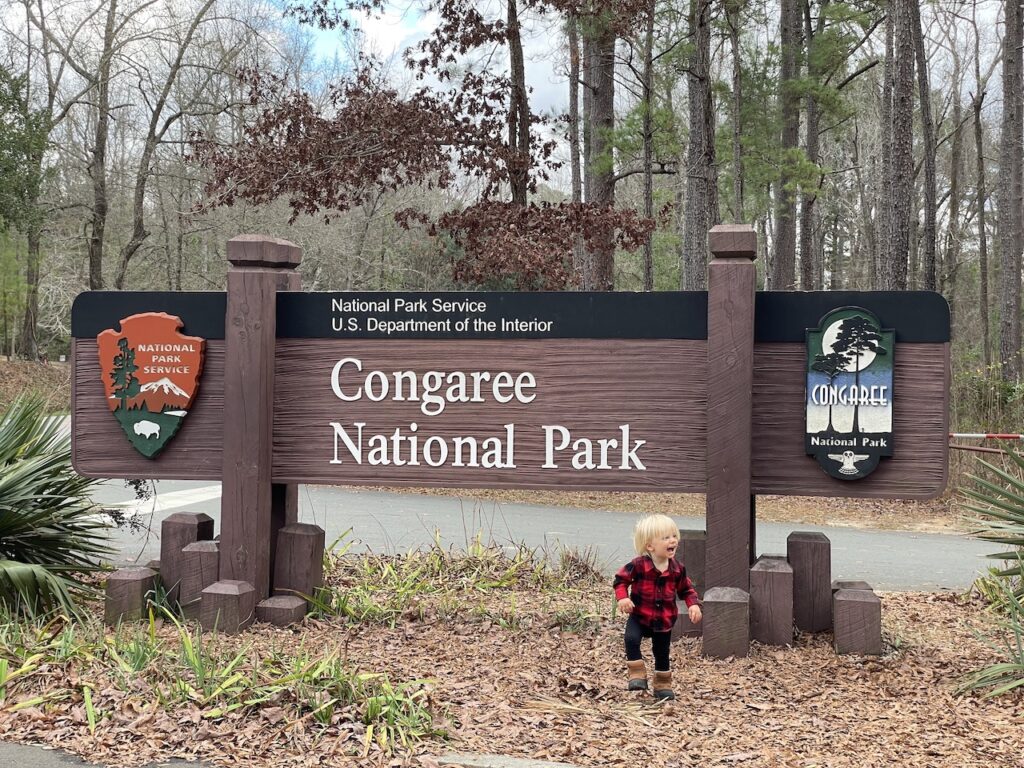
Congaree National Park is located in South Carolina southeast of Columbia. It’s one of the smallest national parks, which is probably one of the reasons it’s also one of the least visited national parks. What Congaree National Park lacks in size and popularity, it makes up for in tranquility and beauty.
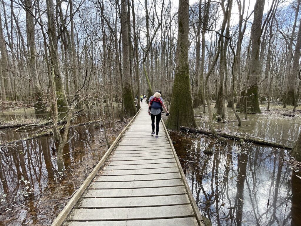
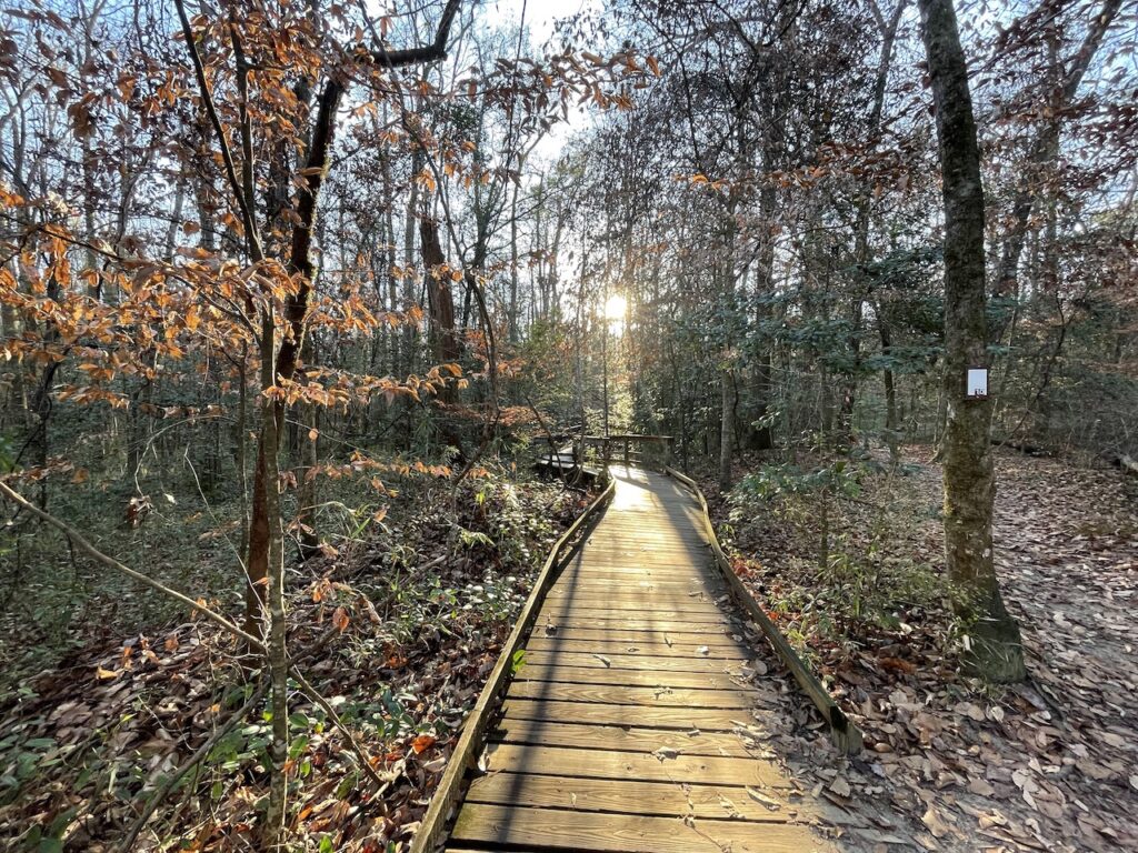
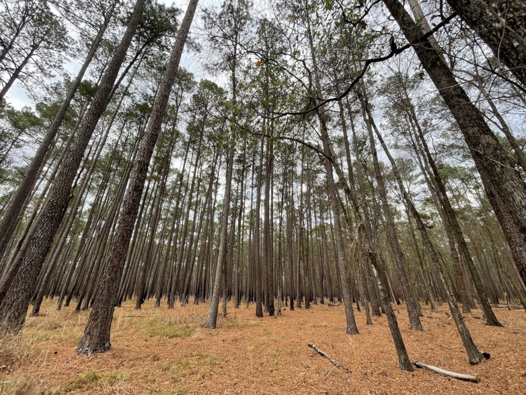
The national park protects the floodplain from the Congaree and Wateree rivers and is home to a wide array of plants and wildlife. Cypress tree roots, called knees, pop up all through the marsh and loblolly pines tower above. A boardwalk path leads visitors above and through this unique, marshy terrain and provides a look into a landscape unlike many others.
Things To Do at Congaree National Park
Here are a few of the top things to do at Congaree National Park.
- Boardwalk Tail: The main thing to do at Congaree National Park is walk the 2.4 mile boardwalk trail which starts and ends at the Harry Hampton Visitor Center. The boardwalk at Congaree National Park is accessible for wheelchairs and strollers.
- Firefly Trail: Firefly Trail (1.8 miles, easy) is a dirt walking path that also starts from the visitor center. The trail is popular in the spring when it lights up with fireflies at dusk.
- Other Hiking Trails: Several trails off the boardwalk path are also available and vary in difficulty. Weston Lake Trail (4.5 miles, moderate) and Sims Trail (3.2 miles, easy) are a few of the most popular trails at Congaree National Park.
- Canoeing & Kayaking: The Cedar Creek Canoe Trail (15 miles) starts at Bannister’s Bridge and ends at the Congaree River. You will need to bring your own Canoe and kayak, which you can rent in nearby Columbia. There are no canoe or kayak rentals available at Congaree National Park.
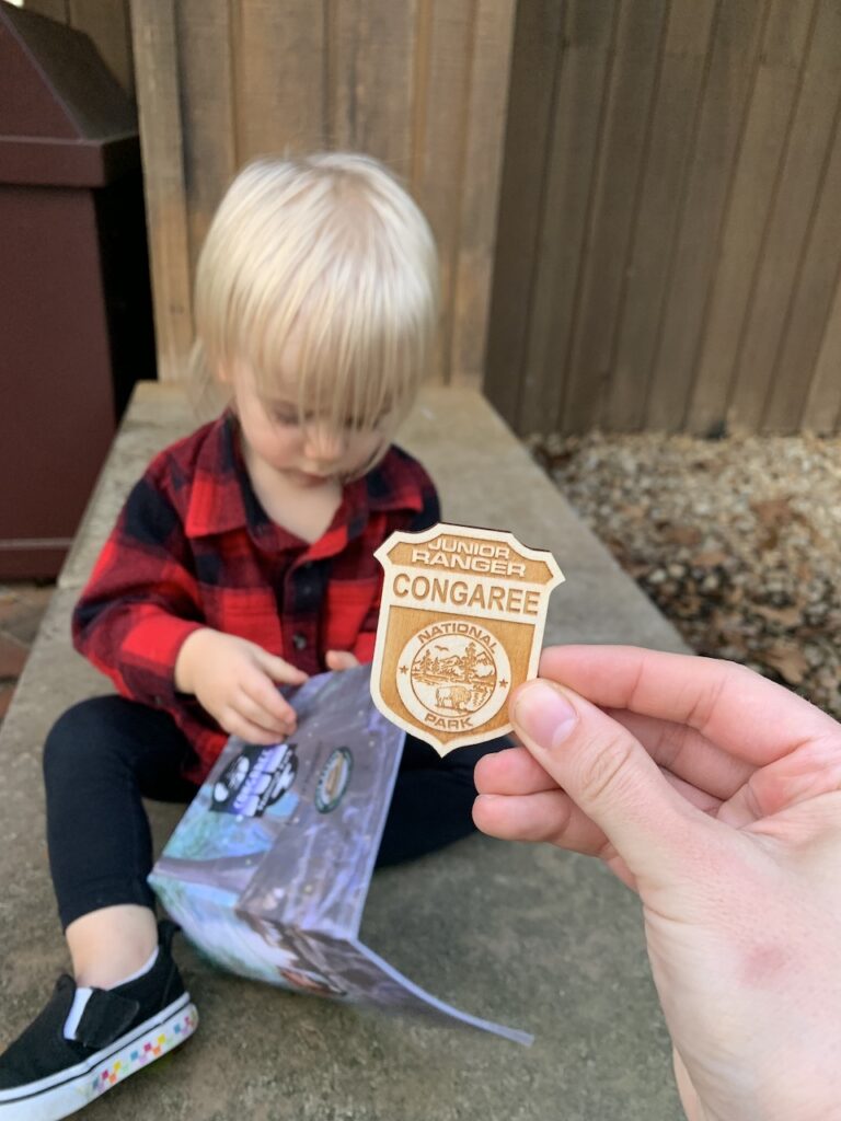
- Junior Ranger Program: Pick up a Junior Ranger guidebook at the visitor center. The book has activities for little ones to complete throughout the park. Show your completed book to the park ranger to earn a stamp in your book and a very cool badge! This is a free program and open to all ages.
How Long Does it Take to Visit Congaree National Park
We recommend spending 4 hours at Congaree National Park. This will give you ample time to stop at the visitor center, leisurely explore the boardwalk loop, and take several breaks to enjoy the nature. Four hours would be plenty of time to add Firefly Trail, Sims Trail and/or Weston Lake Trail as well.
While you could fill a full day here, it’s not necessary. We think Congaree National Park is a perfect half-day national park.
When to Visit Congaree National Park
The best time to visit Congaree National Park is in the spring (March – May) or fall (September – November). During the springtime, it’s best to visit in the afternoon so you can see the fireflies on Firefly Trail. The foliage in the fall makes for a stunning trip anytime of day.
Try to avoid the summer months when it can get very hot (90°F and up) and humid and is more prone to heavy rain and flooding.
How Much Does it Cost to visit Congaree National Park
Entrance to Congaree National Park is free!
Where to Stay near Congaree National Park
The most popular place to stay near Congaree National Park is in Columbia, SC. Here you’ll find a wide variety of hotel options for around $100/night. This is the best option if you’re flying back home at the end of your trip or driving anywhere generally north.
There are some nice things to do in Columbia, including the McKissick Museum, and lots of dining options. There’s also grocery stores if you want to pack a picnic for your day at Congaree.
In our case, we were driving south the following day to return home to Florida. Because of that, we didn’t want to drive north to stay in Columbia.
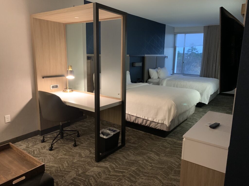
For that reason, we chose to stay at the SpringHill Suites in Orangeburg. This was the closest town on our route south and had some good hotel options, restaurants, and Starbucks.
How to Spend a Half Day at Congaree National Park
This short itinerary will guide you through a half day at Congaree National Park. This assumes you will be arriving in the area in the early afternoon.
Harry Hampton Visitor Center
When you arrive at Congaree National Park from the main entrance off Old Bluff Road, you’ll follow the main road to theHarry Hampton Visitor Center. There is a parking lot available but it’s quite small and fills up quickly. Street parking along the main road is available, but it may be a long walk to the visitor center.
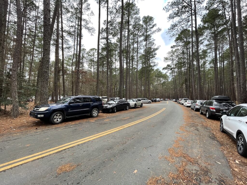
The Harry Hampton Visitor Center at Congaree National Park is the starting point for nearly every trail at Congaree National Park. There are clean bathrooms and a water fountain with water bottle spout available. Inside there are books, guides and maps, and limited snacks/beverages available for purchase.
Pick up a free visitors guide to take with you. There are numbered trail markers on the boardwalk and the guide will provide some fun facts about what you’re seeing at each one. If you’re participating in the Junior Ranger program, you’ll want to grab that here, too.
There is a free stamping station inside the visitor center and outside at the park ranger station where you can add a Congaree National Park stamp to your own stamp book or guidebook. If you don’t have one yet, stamp books can be purchased inside the visitor center.
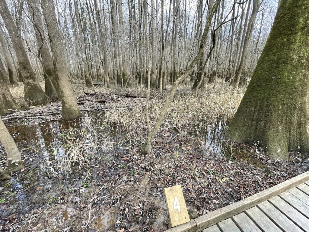
Congraree National Park Boardwalk
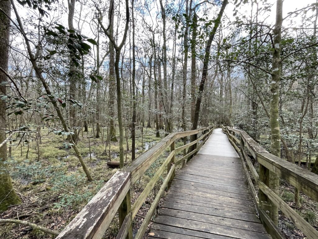
On the other side of the visitor center is the start of the Boardwalk Trail. This 2.4 mile loop is the main attraction at Congaree National Park. It’s a flat, smooth trail making it great for strollers or wheelchairs.
The ground-level portions of the boardwalk just have a raised edge, but no guard rails. The elevated portions of the boardwalk have guard rails, and at many points wire mesh screens as well.
As parents of a fast and wobbly toddler, this was amazing. They loved being able to run a little ahead, and we loved not having to worry they’d fall into the marsh.
-

Ground-level sections of the boardwalk do not have guardrails -

Raised portions of the boardwalk have guardrails
There are benches scattered along the boardwalk if you need to take a break, eat a snack or nurse a child.
The boardwalk crosses Sims Trail and Weston Lake Trail, which will connect you to most of the other trails in the park. These other trails are nature trails and do not have a boardwalk.
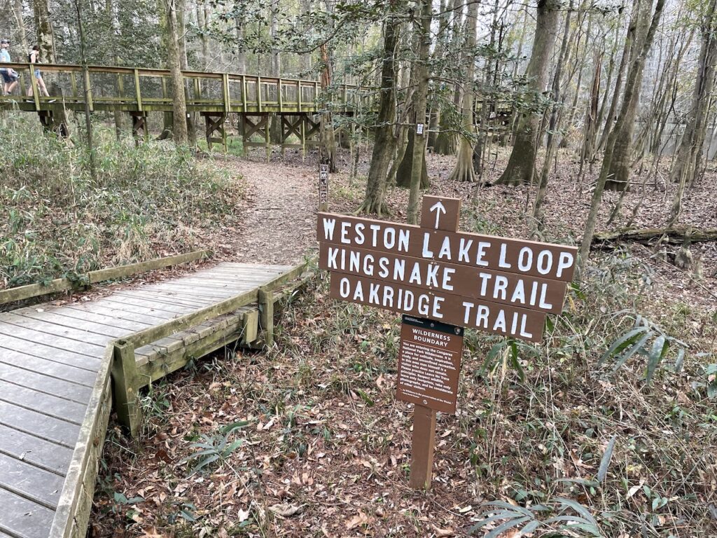
You could walk the boardwalk in the amount of time it takes you to walk 2.5 miles (we could have just walked it in 45 minutes). However, we recommend spending 2 hours on the boardwalk. This gives you time to enjoy the nature, take some breaks, and read the guide notes at each stop.
Firefly Trail at Congaree National Park
Near the end of the boardwalk (assuming you’re walking it counter clockwise as the markers suggest), you’ll pass a sign for Firefly Trail. This short nature trail (0.1 miles) will take you back to the visitor center. You can also stay on the boardwalk trail which will get you back to the visitor center in 0.4 miles.
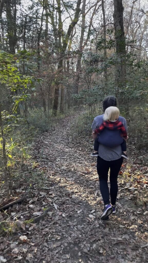
The fireflies are typically only on the trail during the spring months at dusk, but it’s a nice walk any time of year. The trail is not paved, but it is quite flat. There are a few roots and such, so I wouldn’t recommend a stroller or wheel, though you could probably make it work.
Is Congaree National Park Worth Visiting?
The small size and limited things to do at Congaree National Park leave a lot of people wondering if it’s worth visiting. The fact that it’s small and not super popular is actually the reason why many people really like it. Most people we’ve talked to who have been to Congaree National Park love it. Personally, we also really enjoyed it.
Congaree is a low-stress national park that you can easily see in a day or half-day. It’s not overwhelmingly crowded, which means you have more time to enjoy the nature. The boardwalk around the park makes it accessible for families and those with mobility issues who can’t spend full days hiking up mountains.

That said, we wouldn’t recommend making Congaree National Park the sole destination of a trip (unless you’re local of course). The national park is lovely once you’re there, but doesn’t carry quite enough weight on it’s own to justify a trip just to see the park itself.
We think that Congaree National Park is a great addition to a trip, such as combining it with Great Smoky Mountains National Park like we did here. Congaree National park is also <3 hours from Savannah (GA), Charleston (SC), and Myrtle Beach (SC). We would certainly recommend taking a day trip to Congaree if you’re visiting any of these destinations.
Conclusions
What started as a 3-hour flight ended as a 4-day road trip with two national parks in the middle. We consider this adventure to be one of the silver linings we have to look for during the pandemic world we live in.
This trip taught us a lot about how we’d like trips to national parks to go in the future. For example, we will prioritize longer hikes, even if it means making it to fewer destinations. (We didn’t love how much time we spent driving in Great Smoky Mountains National Park). It also taught us the joy and ease of a picnic lunch, which we will definitely plan to do more often on all trips.
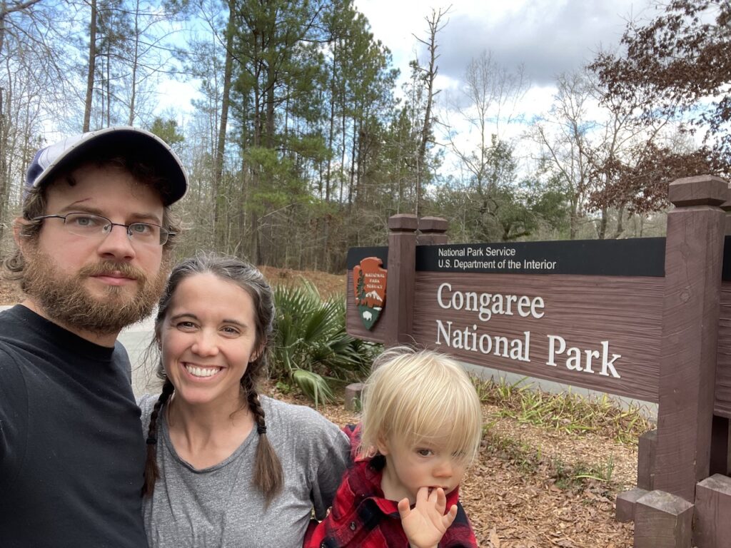
Great Smoky Mountains and Congaree were the first national parks Kenny and I have been to as adults. Visiting all 62 national parks is something we’d really like to do throughout Zoe’s childhood. Getting to see two national parks in just two was a great way to start that challenge.
What national parks have you been to? Which ones are your favorite? Let us know which one we should visit next.

J. Stacy
Sunday 22nd of May 2022
This is an excellent article with great photos. You write well and explain precisely the details visitors want to learn about.