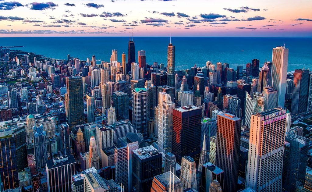
Welcome to Part 2 of our series on Navigating Chicago. In Part 1, you learned all about Chicago’s grid system. Now, in Part 2, we’re going to zero-in on some of the details of the downtown Chicago.
Downtown Chicago — Introduction
We’re not about to cover all the streets downtown or to just give you a list, that’s what maps are for.
What we hope to do in this section is just highlight the major streets you need to know to navigate downtown, as well as giving some tips on some of the oddities, like multi-level streets and access to the lakefront.
Boundaries and Landmarks
This first section is just to quickly outline the area we’re calling “downtown” and to identify a few landmarks downtown.
No one knows what “downtown” Chicago is because (as with most cities), there’s no official designation. For the purpose of this post, we’re going to use the following boundaries:
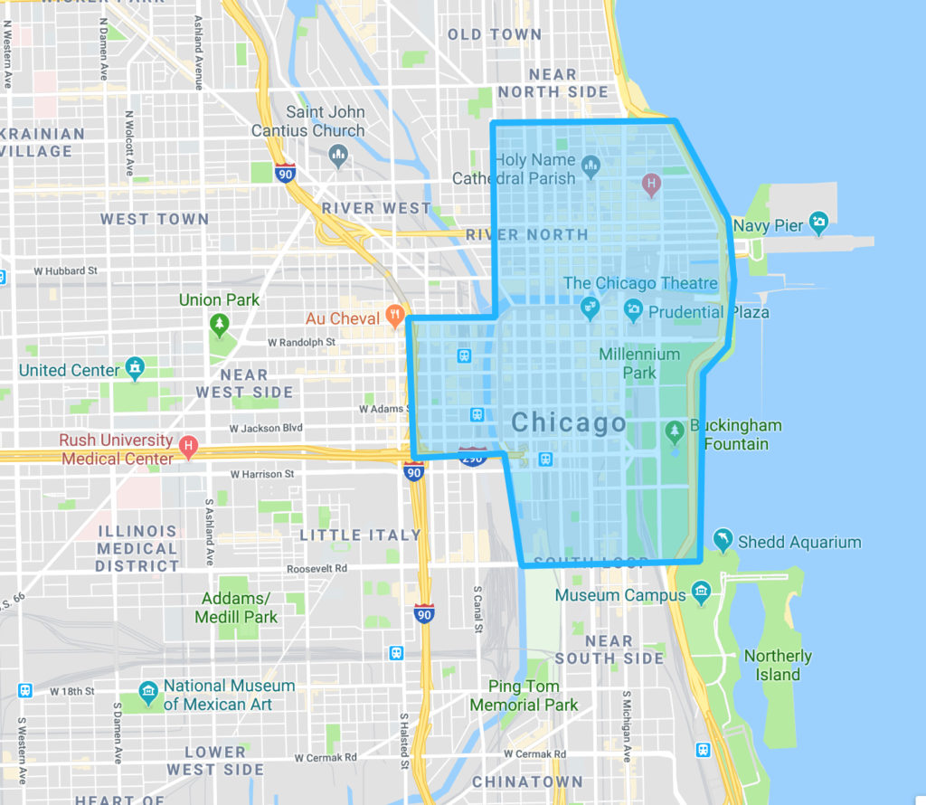
That’s roughly…
- Oak Street on the north
- Orleans / Chicago River to the west, with an extension over to Interstate 90/94 between Lake Street and Harrison (including Union Station)
- Roosevelt to the south
- Lake Michigan to the east
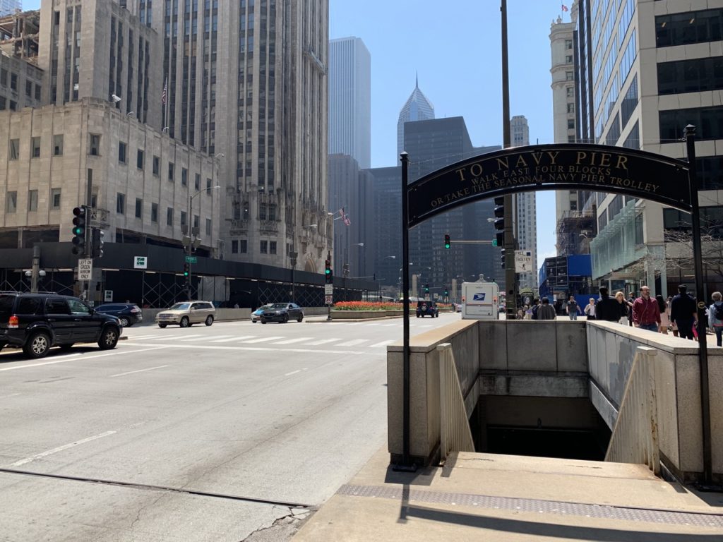
Navy Pier and the Museum Campus aren’t included in the shaded area because it makes for a messier map, but they are a part of downtown.
This more or less includes the Loop, River North, Streeterville, part of the Near West Side, and part of South Loop.
Altogether, this area is about 1.5 to 2 miles across (east/west) and about 2.5 miles long (north/south). As we said, “downtown Chicago” is one of those names that has no fixed meaning, even to locals — don’t be surprised to hear someone use it differently.
If you’re more landmark oriented, you can use the following map and list of landmarks, noting that [1], [2], [8], and [9] are roughly the most North, East, South, and West highlights of downtown.
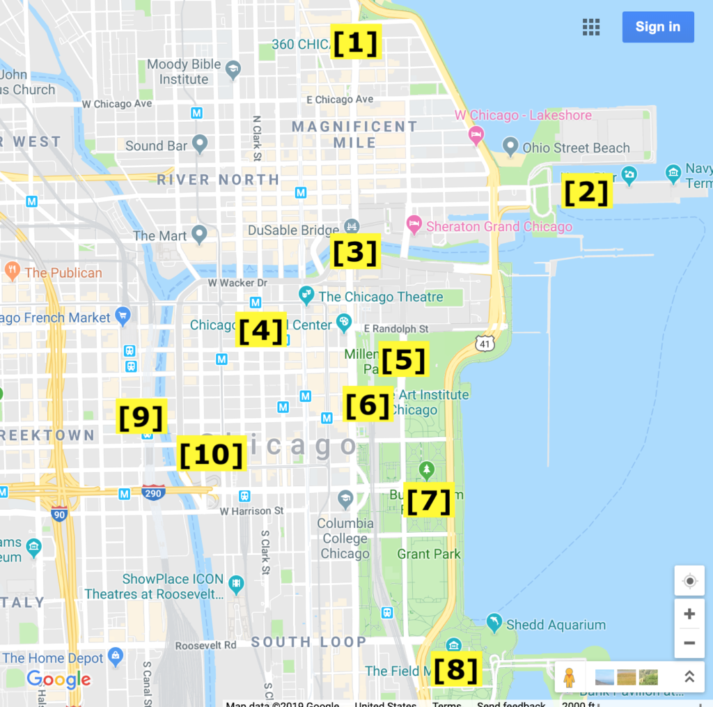
- John Hancock Center / 360 Chicago (Almost North End of Mag Mile)
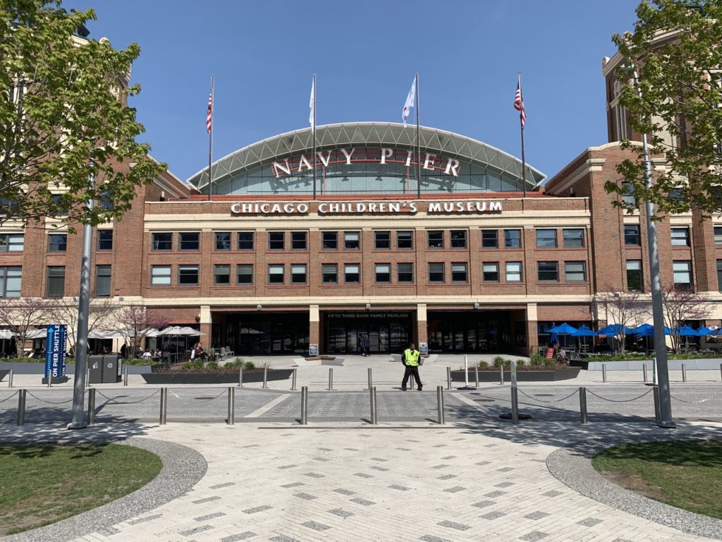
- Navy Pier
- DuSable Bridge (South End of Mag Mile)
- The Picasso
- Millennium Park and Maggie Daley Park
- The Art Institute of Chicago
- Buckingham Fountain (central part of Grant Park)
- Museum Campus
- Union Station
- Willis Tower
Walking to all of these landmarks would take around 2.5 hours, not including the time you’d take to visit each (Museum Campus alone is more than a single day).
Getting To and Around Downtown
For the most part, all you need to know about getting to and around downtown is to use Google Maps.
We have a guide to riding Chicago’s L train system, as well as a guide to taking the CTA bus system. Downtown itself is incredibly walkable, but you might choose to take the L or a bus if you’re in a pinch or not into walking.
Streets of Downtown Chicago
Now we’re going to highlight a few special streets and oddities of downtown Chicago.
State Street (That Great Street)
State Street runs north and south and sits at 0 East / West in Chicago’s street numbering system, which is enough to make it a significant street. East addresses are east of State, West addresses west.
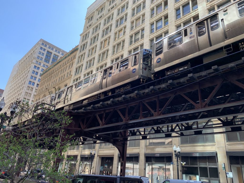
Beyond that, State is one of downtown Chicago’s busier streets. Underneath it downtown, you’ll find the Red Line, a major line of Chicago’s L train system.
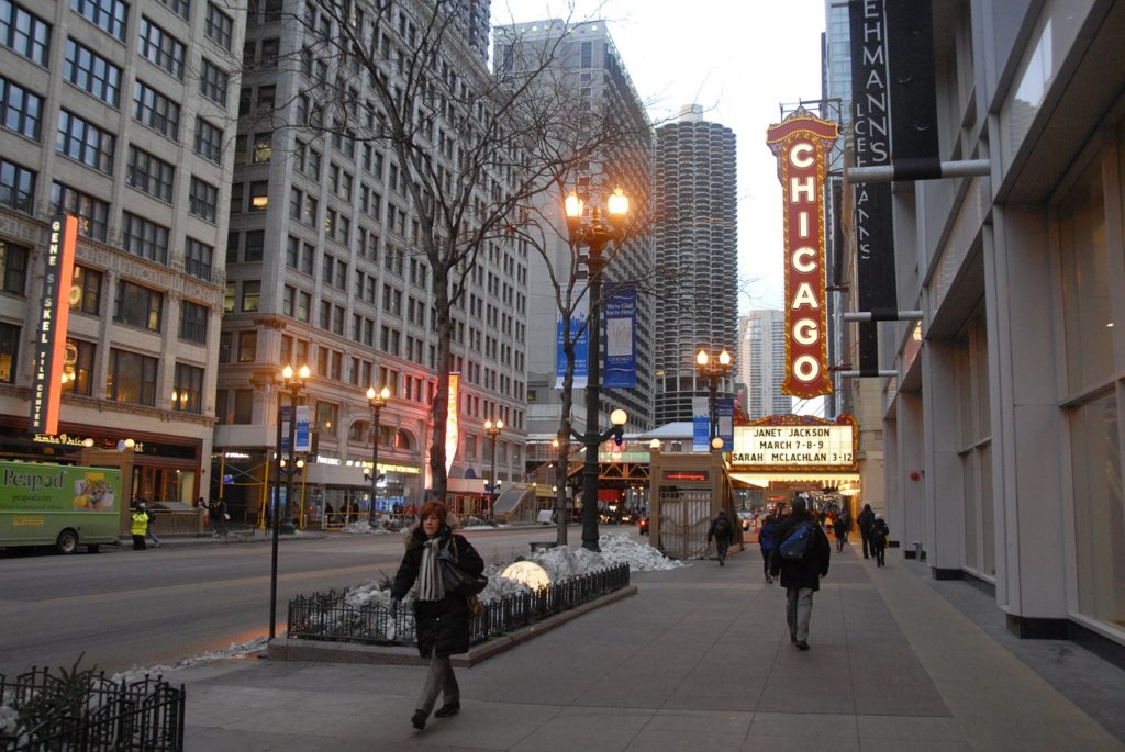
Along State Street, you’ll find such highlights as the Chicago Theatre, the Harold Washington Library, and a ton of hotels, bars, restaurants, and shopping.
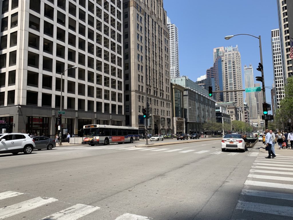
Michigan Avenue & The Magnificent Mile
Michigan Avenue is the first street most people think of when they think of Chicago.
Michigan’s address is 100 East (one city block, or 1/8 mile, east of State). Its northernmost point isn’t very far north—it merges into Lake Shore Drive at Oak Street (1000 North). With a few obstacles, it continues south through the entire city.
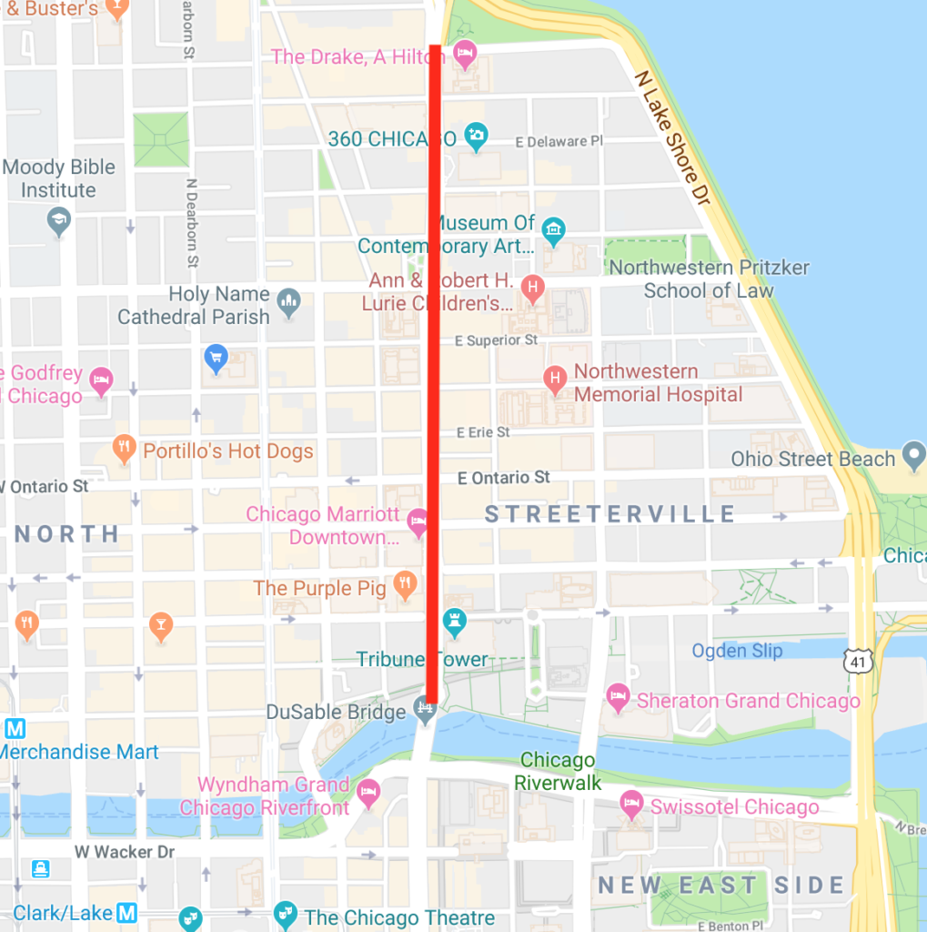
The Magnificent Mile (above) is a small part of Michigan Avenue between Oak Street at the north end and the Chicago River at the south. It’s one of Chicago’s major tourist destinations and the largest shopping district in Chicago. We have a guide to the Magnificent Mile that includes a walking tour of the street.
Despite its name, the Mag Mile is actually only about 0.8 miles long.
South of the Magnificent Mile, Michigan Avenue continues to be a major street downtown, passing by Millennium Park and the Art Institute.
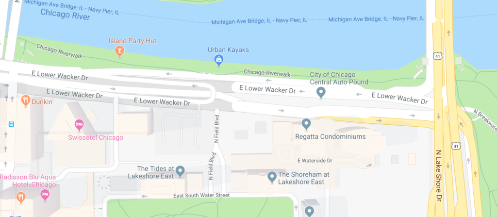
Wacker Drive
Wacker Drive is a large, but short street that runs alongside the Chicago River downtown, along the north and west sides of the Loop. Because it makes a 90 degree turn at the northwest corner of the Loop, it can be a confusing street in terms of directions. People will ask “how do I get to Wacker?” and the answer is usually “that way…or that way…”
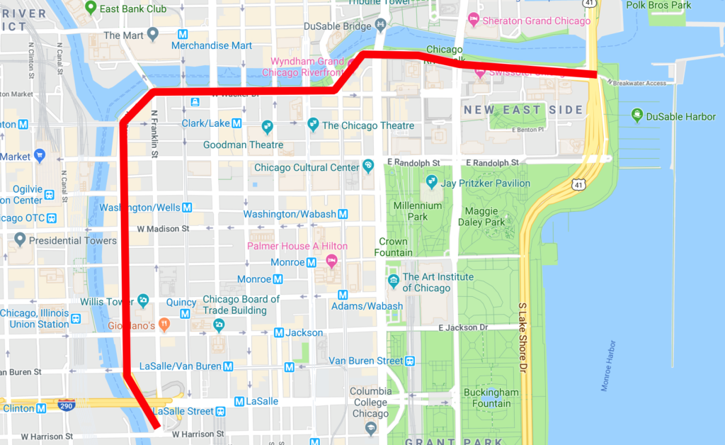
Wacker is also multi-level, with two levels for most of its length and three levels for a short portion. We discuss multi-level streets more below.
Lake Shore Drive
We cover Lake Shore Drive again in the next section on highways. As it does for much of the city, Lake Shore Drive runs along the lake (shocker!!) downtown.
When driving, there isn’t too much to know about Lake Shore Drive downtown, except that exits are located at Michigan Avenue (at Oak Street), Grand, Randolph, Monroe (intersection), Balbo (intersection), and Roosevelt (intersection).
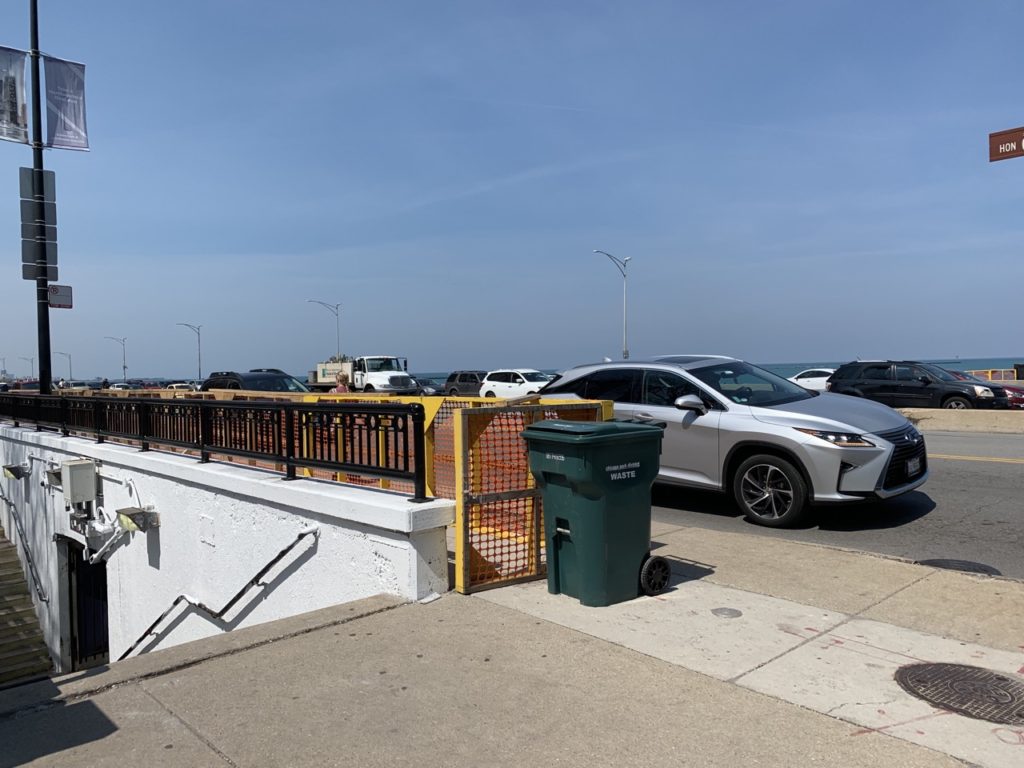
Walking, you’ll just need to know that to get to the lakefront, including the beaches, you’ll need to cross Lake Shore Drive. This is done either via pedestrian underpasses or at traditional traffic intersections.
Like Wacker Drive, Lake Shore Drive has upper and lower components. The lower portion is relatively short and mostly just exists to make for easier on-ramp and off-ramp flow with the upper portion.
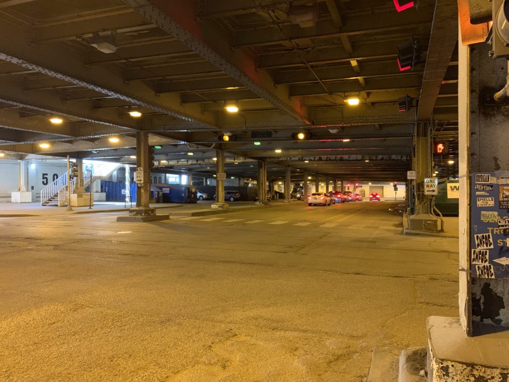
Upper and Lower Streets
Downtown Chicago has another distinctive feature—multilevel streets. Many streets downtown have two (or even three) levels.
While there is probably a formal naming convention, I’m most familiar with the following protocol: The uppermost level bears the standard name of the street. So “Upper Wacker” is usually just “Wacker.”
The level immediately below the upper level gets a “Lower” designation, e.g. “Lower Wacker.” Subsequent levels get further “Lower” designations, e.g. “Lower Lower Wacker.”
I’ve also seen “Service” used to describe this lowest third level, and I’ve seen “Upper / Middle / Lower” used as well.
The uppermost level is obviously where most traffic is and where most business and commercial fronts are.
The lower levels tend to be used for traffic and service entrances. You’ll also find a few parking garages with entrances on lower streets.
Pedestrians can easily move between these levels via stairs. They’ll typically, but not always, prefer upper streets.
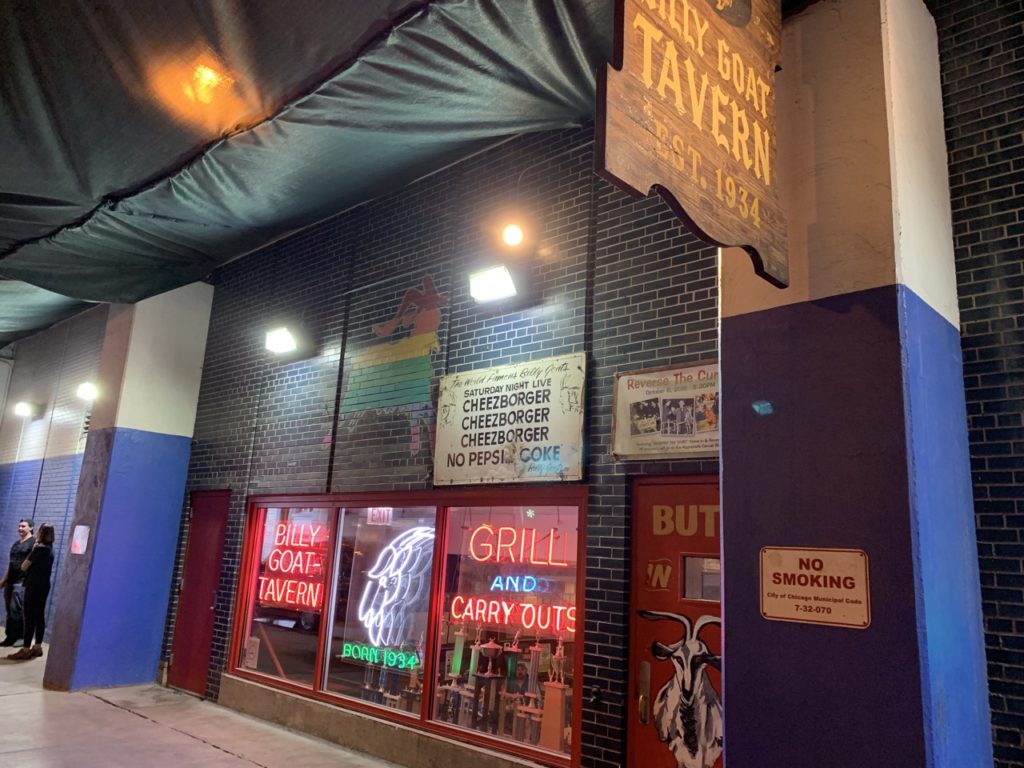
The only point of interest I’m aware of on the lower streets is Billy Goat Tavern, located at Lower Michigan and Hubbard.
Once you’re lost in the lower streets, don’t try to recover or use GPS. Just follow any signs that direct you to any of the upper levels and then use your GPS to reset.
If you stop too long in the lower streets, someone will approach your car and offer to sell your directions out. We don’t recommend doing this.
Presidential Streets
Most prominently in the Loop, but continuing into the western part of the city are a series of streets named after presidents. In order, from north to south there are:
- Washington
- Madison
- Monroe
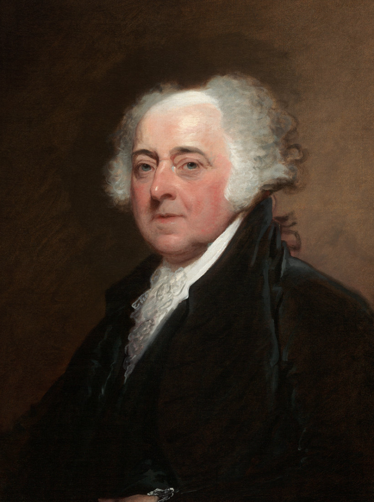
- Adams
- Quincy
- Jackson
- Van Buren
- Harrison
- Polk
- Taylor
- Fillmore
History buffs will have little problem remembering this order, as it is almost the order in which these presidents held office.
Otherwise, feel free to move onto Part 3 of Navigating Chicago (coming soon), where we discuss those fun highway names!